National Weather Service Releases 2022 Spring Flood Outlook For The Quad Cities
As we near closer to Springtime in the Quad Cities, we are starting to get a clearer picture of whether we will see much flooding in the Quad Cities or not. Recently, the National Weather Service (NWS) of the Quad Cities released their 2022 Spring Flood Outlook and it looks like we are at low risk of flooding this year. Thank goodness!

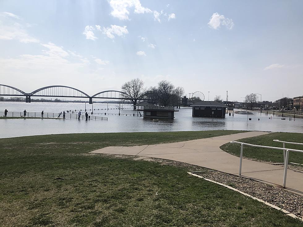
We always worry every year about flooding here in the Quad Cities. Of course, we all still remember the HESCO barriers breaking back in April of 2019 which flooded a lot of downtown Davenport.
While we always seem to see some flooding in downtown Davenport, it's good to know an idea of just how much flooding we may have to prepare for this spring. The National Weather Service (NWS) of the Quad Cities released their 2022 Spring Flood Outlook which paints a pretty good picture of what we can expect.
The NWS of the Quad Cities released its three key points you need to know when it comes to the 2022 Spring Flood Outlook:
- Flood risk this season is lower than in previous years.
- The majority of area rivers have a below-normal risk of reaching flood levels of moderate or major flood severity.
- The threat for spring flooding will be driven by the amounts, location, and frequency of spring rain or additional snowfall, and to a lesser extent the pace of the snowmelt
In detail, the National Weather Service of the Quad Cities says there is a near to below normal flood risk this spring. Factors contributing to the near normal to decreased spring flood risk include:
- Near to below normal soil moisture and winter precipitation.
- Lack of widespread or deep snowpack over much of the region.
- Near normal river levels.
Officials say that snow cover and snow water equivalent are below normal across much of the area. This decreases the overall flood threat.
However, the northern portions of the Mississippi River basin are above normal. Officials say that a rapid snowmelt happening over still-frozen ground would increase the flood threat on the Mississippi River this spring. A slow and steady melt would decrease the threat.
Rock Island Mississippi River Levels Flood Outlook

Muscatine Mississippi River Levels Flood Outlook

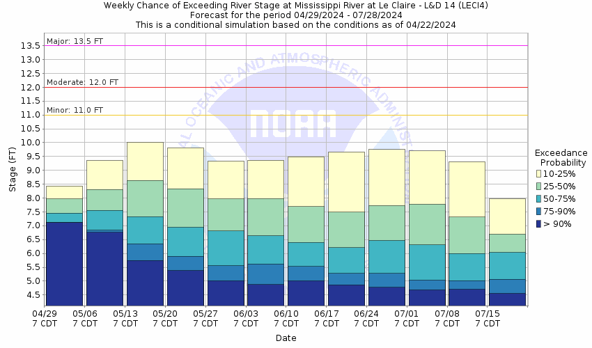
LeClaire Mississippi River Levels Flood Outlook

National Weather Service officials say that abnormally dry to moderate drought conditions and near to below soil moisture will also reduce the flood risk, as well as the risk for long-term flooding. Once the frost dissipates from the soil, there will be more storage available for spring rains and additional snowmelt.
Experts from the National Weather Service of the Quad Cities say that the weather pattern is expected to stay active in the coming weeks. Any additional snowfall or heavy rains, and the rate of snowmelt could change the spring flood outlook.

This graphic below shows the long-term 2022 Spring Flood Outlook from February through April:
You see other forecasts for rivers and tributaries in the Quad Cities by clicking here.
See pictures below of when the HESCO barriers were breached at the end of April 2019. It doesn't look like we'll have a chance to experience this (thank goodness) in 2022.
Davenport Flood Wall Breach
Flood Wall Breach 2019
More From US 104.9


